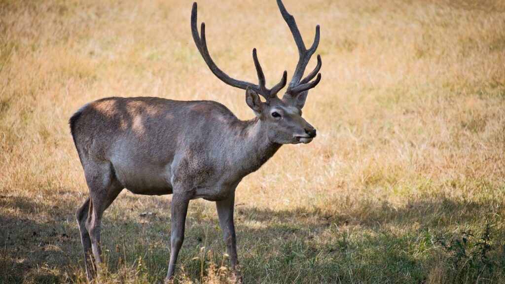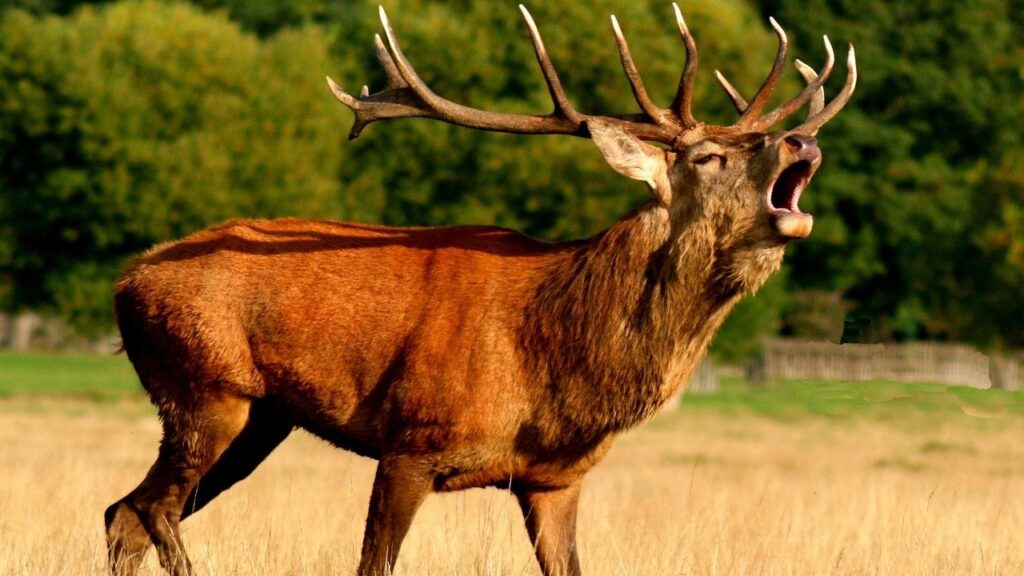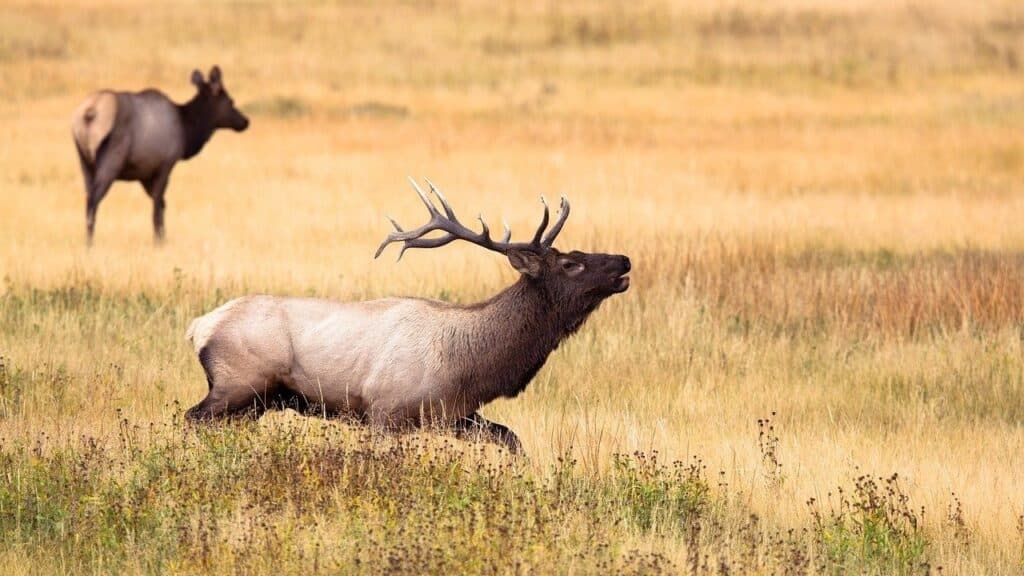
Deer hunters know that deer such as whitetails are difficult to hunt. You need good terrain to target deer. But let’s be honest. It’s not enough to have skills and gear to hunt whitetail. You must know How to Read Topo Maps for Deer Hunting.
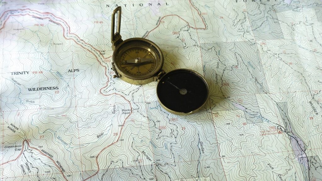
Yes, I know what you’re thinking – what are topo maps. A pro hunter friend of yours might have mentioned topo maps during the hunting season. But you didn’t pay much attention to what a topo map is at that time. Let’s first know what a topo map is.
What is a Topo Map
A topo map or topographic map represents the Earth’s surface. Topo maps are two-dimensional that shows contour lines (as representation) having different elevation.
Reading topo maps is essential in deer hunting – especially if you’re out in the woods hunting a whitetail. Hunters interpret a topo map by understanding both contour lines and elevation.
Using contour lines, a hunter measures the terrain’s grade or steepness. Contour lines represent the terrain features.
How to Read Topo Maps for Deer Hunting
Topo maps squiggly lines don’t make sense at first, but soon you’ll know that these lines mean. The following are key-features of topo map that would allow you to read a topo map.
The Hilltop
The tightest and smallest circles you see on the map represent the Hilltop. You can find deer along the third or quarter of the hill. You’ll see large deer down the hill. Why is that? Thermals send scent up, and the winds also bring scent from the ridge’s backside.
The perfect time to hunt if you see the Hilltop on the map is any season but make sure you slip in before daylight.
Pro Tip: Identify the high points you see on the area so that you can approach the tricky hilltop spots easily.
The Gentle Slope
If you see lines spread apart, you see a Gentle Slope. This area isn’t good for deer hunting. But don’t worry because you can still make good use of the area. If the place offers bedding cover and food sources, the area becomes attractive to deer.
Another downside is you can’t hunt here anytime. The perfect time to deer hunt depends on the bed cover or food sources in the area. If the area has excellent food choices, you’re lucky!
Ridge Ends
Keep in mind those tight contour lines depicting sharp turns show Ridge Ends. You can’t hunt whitetail at any season when you see ridge ends. North and west are excellent locations if the area you’re into is warm.
The sound and east side are excellent locations if it’s cold weather. Take note of the wind direction in interpreting the ridge ends. For example, your area is excellent with northern winds if the spot if the ridge ending is facing south.
Plateaus
If you’re often hunting in coal country, then Plateaus is there. The oval or rectangular shape represents Plateaus. You can also see space lines that surround white space. Determine the food sources available in the area, and you’ll have excellent deer hunting.
You hit the jackpot when your hunting area is a Plateau. But don’t get excited yet. Plateaus might be an ideal hunting area, but this feature is rare in the whitetail country. So, you’re lucky if you’re in a spot with many food sources.
The Hub
Imagine spokes on a wheel, and you can recognize the hub. All the spokes run toward the hub between the ridges. Hunters would find more deer to hunt if many spokes run the hub. You will observe that most winds pass to the hub areas. Here’s more good news: you’ll also find food, water, and even thick cover in these areas.
Yes, you’re right! That means that you’ll find more deer in the area. Remember that a hub is an area where deer migrate. You’re fortunate if the area has a thick cover because deer could stay here longer.
The Saddle
Two bullseyes you see on the topo map are there for a reason. That’s what a Saddle looks like. The saddles are often called “whitetail magnets.” Why is that? A saddle is a travel route by most deer, so it isn’t surprising that you’ll find more deer than any location on the map.
The best time to hunt on this route is any time of the season. Place your treestand near the route and wait for the deer to come. Take note that your treestand is upright so that you can get a better view of your target.
Side Ridge Bench
Observe the hillsides you see on the topo map. Wide lines and tight lines surrounding them represent a side ridge. Meanwhile, the ovals and rectangles you see represent the benches. If your topo map is large and detailed, you’ll spot the benches easily.
You can use Side-Ridge Bench to your advantage as this is the travel route used by deer. You can approach the ridge without the deer seeing you. But this is only possible when there’s a decent cover in the area.
If you’re planning to hunt whitetail in mid-October to the late season, it’s a good idea. You can see plenty of deer during those times. Place your treestand above the bench so that your scent gets carried upward. If you plan to hunt deer at night, place your treestand below the ridge.
Conclusion
Before you get ready for your hunt, make sure you’re wearing the right hunting clothes. A pair of rubber boots would add to your unscented garment. Don’t forget to be discreet and careful when you’re approaching the hunting area so that the deer wouldn’t retreat.
Also, don’t forget to learn How to Read Topo Maps for Deer Hunting to become successful in your hunting efforts. Keep in mind that even new hunters can learn reading topo maps if they put their hearts and mind to it.
Don’t ever give up. Good luck and happy deer hunting!
Last Updated on April 15, 2025 by Marty Prokop